The Alderwyn House and the Quiet Dissolution of a Forest-Meadow Boundary Estate
The Alderwyn House was completed in 1893 for Henry Caldwell Alderwyn, born 1835 in Gloucestershire, a rural estate surveyor and land boundary consultant specializing in forest-edge property division and meadow parcel standardization for agricultural trusts. His wealth derived from consolidating fragmented rural holdings into administratively coherent estates, translating irregular natural boundaries into legal property systems used by regional land offices and agricultural investment groups. The mansion was constructed at the boundary between dense woodland and open meadow to serve as both residence and field coordination center for surveying operations and boundary reconciliation work.
He lived there with his wife Beatrice Langley Alderwyn and their son Thomas, who later assisted in maintaining land registry documentation and rural boundary mapping archives tied to estate consolidation projects.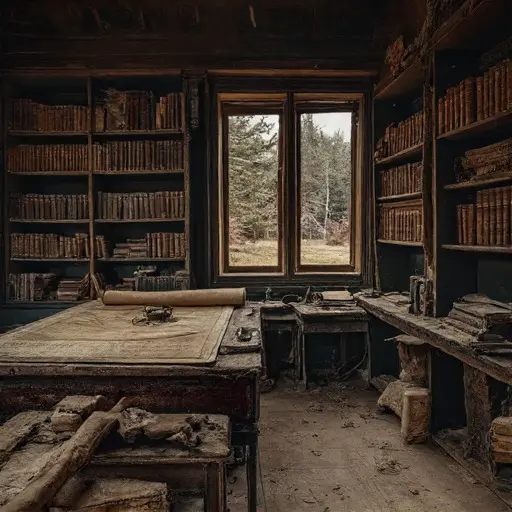
The decline began in 1908 after repeated disputes arose between registered estate boundaries and physical land usage patterns, as forest expansion and meadow drift gradually invalidated fixed cadastral assumptions. Several landholders contested boundary classifications when revised surveys placed identical parcels under different jurisdictional interpretations depending on reference alignment and measurement method. Henry had personally guaranteed portions of the boundary standardization system, assuming long-term stability of mapped divisions would persist across seasonal growth cycles, but progressive ecological variation introduced persistent inconsistencies that accumulated across documentation layers. By 1913, regional land authorities suspended reliance on Alderwyn survey outputs, and correspondence shifted from routine boundary updates to formal disputes over jurisdictional validity and measurement authority. Thomas’s involvement in field documentation ended following a final audit that identified unresolved inconsistencies across multiple overlapping rural datasets.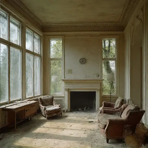
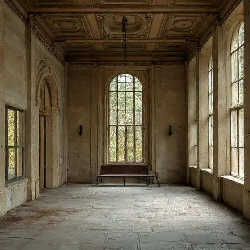
By 1914, Henry Alderwyn had withdrawn from active surveying and taken a position within a regional land registry office, leaving the estate under minimal caretaker oversight. Beatrice’s correspondence ceased shortly thereafter, and Thomas’s name appears once more in a final institutional file concerning contested rural boundary frameworks. The Alderwyn House remained fully furnished but unmanaged, its surveying archives locked within the study and its meadow-facing rooms left untouched. No transfer of ownership was completed, no family returned, and the property was recorded as vacant, standing intact at the edge of the forest while quietly persisting across several nearly aligned versions of the same rural landscape.