The Forgotten Residence Beneath the Rain Roof Where Esteban’s Maps Were Never Folded
People once climbed the hill asking for directions.
Not because Esteban owned land.
Because he understood rivers.
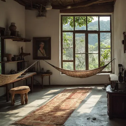
The house stood beneath broad corrugated roofing locals called the rain roof, where storms arrived loudly and left the walls smelling of damp paper for days.
Esteban Alvarez lived there alone and practiced a profession that belonged more to memory than modern planning.
He was a watershed route illustrator.
His work involved drawing hand-rendered river access maps for farming cooperatives, foot travelers, and isolated settlements where formal cartography often ignored smaller water paths and seasonal crossings.
He did not measure land with satellites.
He walked it.
Inside the residence, geography still covers nearly every surface.
Ink-stained tracing sheets lie beneath stones. River sketches remain clipped beside shelves. Elevation notes and rainfall journals crowd the long veranda table where he spent most evenings working beneath hanging lamps.
The River Spine Alcove
Esteban called the rear workspace the River Spine Alcove.
It overlooked the steepest slope and held his field journals, walking staffs, and older route records passed down from survey workers he admired.
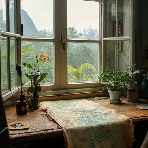
One unfinished map still lies there.
Blue pencil markings stop beside a tributary crossing.
He never married and spent long periods away from towns, tracing seasonal changes and documenting routes many outsiders overlooked.
For years, cooperatives and rural schools valued his work.
Then navigation changed.
Cheap GPS devices, mobile mapping applications, and government digital infrastructure steadily displaced independent route illustration. Younger travelers trusted screens. Printed watershed maps became rare requests.
Esteban adapted reluctantly.
He continued walking.
Continued drawing.
But fewer people asked.
Then the plantations changed.
Large-scale monocrop expansion transformed surrounding hillsides and altered runoff patterns across the region. Smaller water systems shifted unpredictably, and disputes over land access intensified.
Esteban believed new maps were urgently needed.
During one heavy rainy season, while surveying altered crossings after repeated slope erosion, he was caught in a sudden mudslide along a hillside foot route.
He did not survive.
His funeral gathered teachers, farmers, and former guides who had once carried his maps folded inside waterproof sleeves.
The residence remained afterward.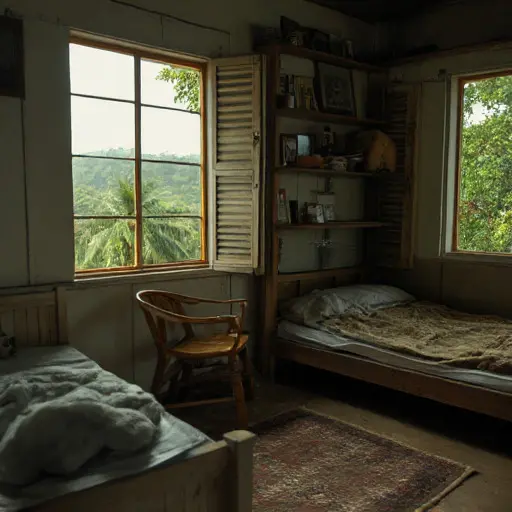
The lamps remain above the veranda.
The rainfall journals still rest beside the ink bottles.
And inside the River Spine Alcove, Esteban’s unfinished watershed map continues to wait beneath the rain roof that once sheltered his work.