The Hidden Map Scrolls of the Novak Cartography Study
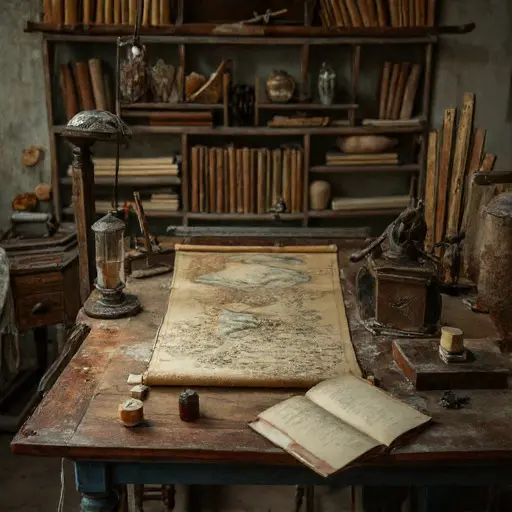
A quiet precision fills the Study, where compasses remain poised, rulers lie untouched, and maps await annotation. Each tool, scroll, and quill implies careful routines abruptly stopped, leaving the room suspended between calculation and creation.
The Cartographer’s Precision
These implements belonged to Matej Novak, cartographer (b.
1875, Dubrovnik), trained in a local workshop and commissioned for town plans, maritime charts, and regional atlases. His Croatian annotations record latitude, scale, and contour detail. A folded note references his apprentice, Lucija Novak, “trace coastlines Thursday,” indicating a structured workflow of plotting, inking, and labeling executed with meticulous care.
Organizing Instruments and Maps
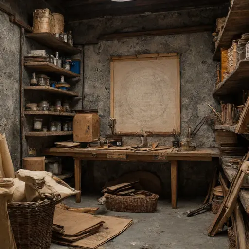
On the drafting table, compasses and dividers are aligned by size; rulers and quills rest beside ink pots. Rolled maps are stacked by project, parchment sheets sorted by scale. A half-drawn coastal chart rests weighted under a small wooden block, reflecting Matej’s disciplined process suspended mid-task. Dust settles in every crease, capturing the faint impression of repeated, precise hand movements.
Signs of Interruption
Later ledger entries reveal inconsistent scales and unfinished map sections. Margin notes—“client revisions needed”—are smudged. Compasses, rulers, and dividers are misaligned; half-completed charts lie in precarious stacks. Matej’s precise workflow faltered under deteriorating eyesight and mounting arthritis, leaving his projects suspended and the studio frozen in halted practice.

In the Study’s final drawer, Matej’s last map scroll ends mid-drawing, annotations incomplete, charts unfinished. A penciled instruction—“verify with Lucija”—cuts off abruptly.
No record explains why he abandoned his work, nor why Lucija never returned.
The house remains abandoned, its drafting tables, scrolls, and map sheets a quiet testament to interrupted cartography and unresolved dedication.