The Lost MacRae Billiard Room Where the Map Stayed Unrolled
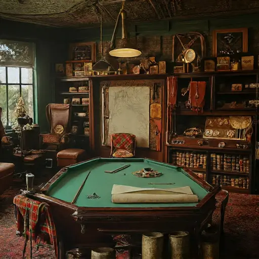
The first impression in the billiard room is its muted suspension, as though calculations hovered in the air and then lost their nerve. A faint tang of linseed oil and pipe ash settles over the baize, where an unfinished coastline stretches across the cloth. Even the chalk lines along the rails look deliberate, a quiet reminder of someone who used the table not for play but for precision.
Where a Cartographer’s Craft Took Shape
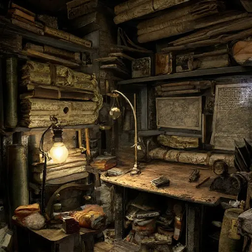
Ewan Alistair MacRae, born 1875 in Inverness, charted regional trade routes for shipping firms. His cousin Fiona once gifted him a tartan scarf, folded neatly beside survey notes in Gaelic and English. Ewan favored strict morning routines—measuring elevations by lamplight, then drafting coast curves after modest meals. His working-class background appears in reused vellum offcuts pressed between dictionary pages.
Navigations Plotted Across Domestic Space
Hand-cut protractors rest near tins of powdered charcoal; weighted strings lie coiled beside a tin marked with coastal bearings. A partially inked river delta curls near the corner pocket, revealing ambitions of a comprehensive atlas he never completed.
Pressure Gathering Along the Margins
Tucked under the table baize is a rejected commission slip citing “inaccurate bearings.” A ring of spilled ink mars a coastline draft, its edges blurred by rushed blotting. The billiard cues stand mismatched, shifted aside as if someone paced, weighing choices that resisted resolution. A torn envelope lists overdue debts from tool suppliers.
Returning to the billiard room, one last trace remains: a final coastline stroke drying to a wavering edge, neither corrected nor continued.
The house remains abandoned.