The Silent Vargas Maproom Where the Boundaries Drifted Apart
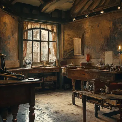
A hush thickens the air. A coastal boundary sketch lies across the central table—its left margin drawn with unwavering control, its right side abruptly diverging as though the coast had slid under his hand. A compass rests open, needle blunted by dried ink.
A ruler leans against a pile of vellum, its edge stained from a moment of hesitation. Nothing here breaks the silence; the room feels suspended in the instant his confidence thinned.
A Cartographer Formed by Measure, Memory, and Patient Eyes
This maproom carries the stillness of Mateo Alejandro Vargas, cartographer and coastal chart designer, born 1872 in Cádiz. Raised among modest seafarers, he trained under a traveling mapmaker who taught him tides, bearings, and the slow discipline of linework. A tiny embroidered band from his sister, Isabel Vargas, is tied around a protractor case.
Mateo lived by measured ritual: dawn sketching of windward coasts, midday tracing of boundary arcs, dusk applying wash tints under the dim glow of an oil lamp. His tools remain arranged with intentional calm—compasses wrapped in cloth, rulers stacked by length, pigments ground to quiet dust. Mariners once prized his charts for accuracy and gentleness of line.
Where Confident Edges Began to Distort
The maproom once brimmed with orderly precision. Vellum rolls from Lisbon traders lay stacked in pale towers. Completed charts dried beneath weighted ribs of cedar. Shorelines curved with decisive grace, each bay rendered in faithful scale.
But subtle distortions crept in. A reef symbol drifts out of alignment. A river mouth curves too sharply from its underlying grid. A pigment wash dries unevenly, tinting the marshlands darker than intended. In his commission ledger, a shipping company’s name appears, crossed out, rewritten, then smeared beyond reading. A quick Spanish note reads: “They say the chart lies.”
Rumor traced through portside offices: an influential navigator accused Mateo of misplacing a hazardous shoal—claiming a minor inaccuracy that could have cost lives. Others said he refused to redraw a boundary to please a wealthy patron seeking advantage in contested waters.
The TURNING POINT Marked in Ink and Uneasy Bearings
One evening left quiet evidence of unraveling. A major commission—an updated coastal boundary—rests half-completed on the drafting easel. The northwestern inlet angles slightly wrong, a deviation only a seasoned mariner or cartographer would notice. A surveying chain lies tangled on the floor, its final link warped. A wash brush clings to the rim of its dish, pigment dried mid-stroke.
Pinned beneath a folded strip of vellum is a torn scrap: “They accuse me of endangering them.” Another fragment, blurred where pigment touched it, mutters: “The compensation… impossible.” The ink thins toward each sentence’s tail, as though the pen wavered in his hand. Even the grid overlays—normally so exact—gather in uneven piles, corners bent.
Across the table, a compass rose stencil lies cracked where someone pressed too hard.
A Narrow Pocket Behind the Chart Cabinet
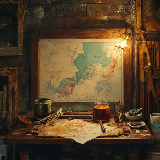
Behind the tall cabinet of rolled maps, a small panel shifts with a dry whisper. Within rests a half-inked coastal chart—its southern boundary rendered with luminous clarity, its northern reach sketched only in faint pencil lines. A folded note in Mateo’s neat but fading script reads: “For Isabel—when the bearings return.” The final word dissolves into hesitant graphite.
Beside the unfinished chart lies a fresh vellum sheet, untouched, perfectly pale—waiting for a line he could not draw.
The Last Thin Boundary
Inside a shallow drawer beneath the charting table rests a narrow test strip: a faultlessly inked line that suddenly wavers, splitting into uneven arcs. Beneath it Mateo wrote: “Even bearings drift when trust breaks.”
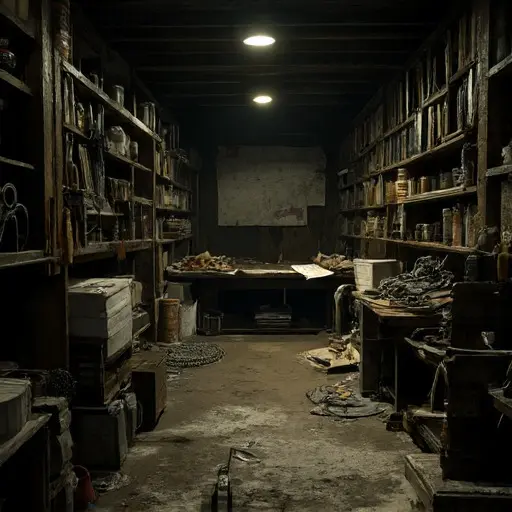
The drafting gallery sinks back into quiet layers of ink and vellum, lines lingering in unfinished motion.
And the house, holding its abandoned cartographer’s chamber, remains abandoned.